
Historic & recorded flooding
Modelled maps show what could happen. Recorded flood outlines show what actually has — real events, mapped where water was observed.
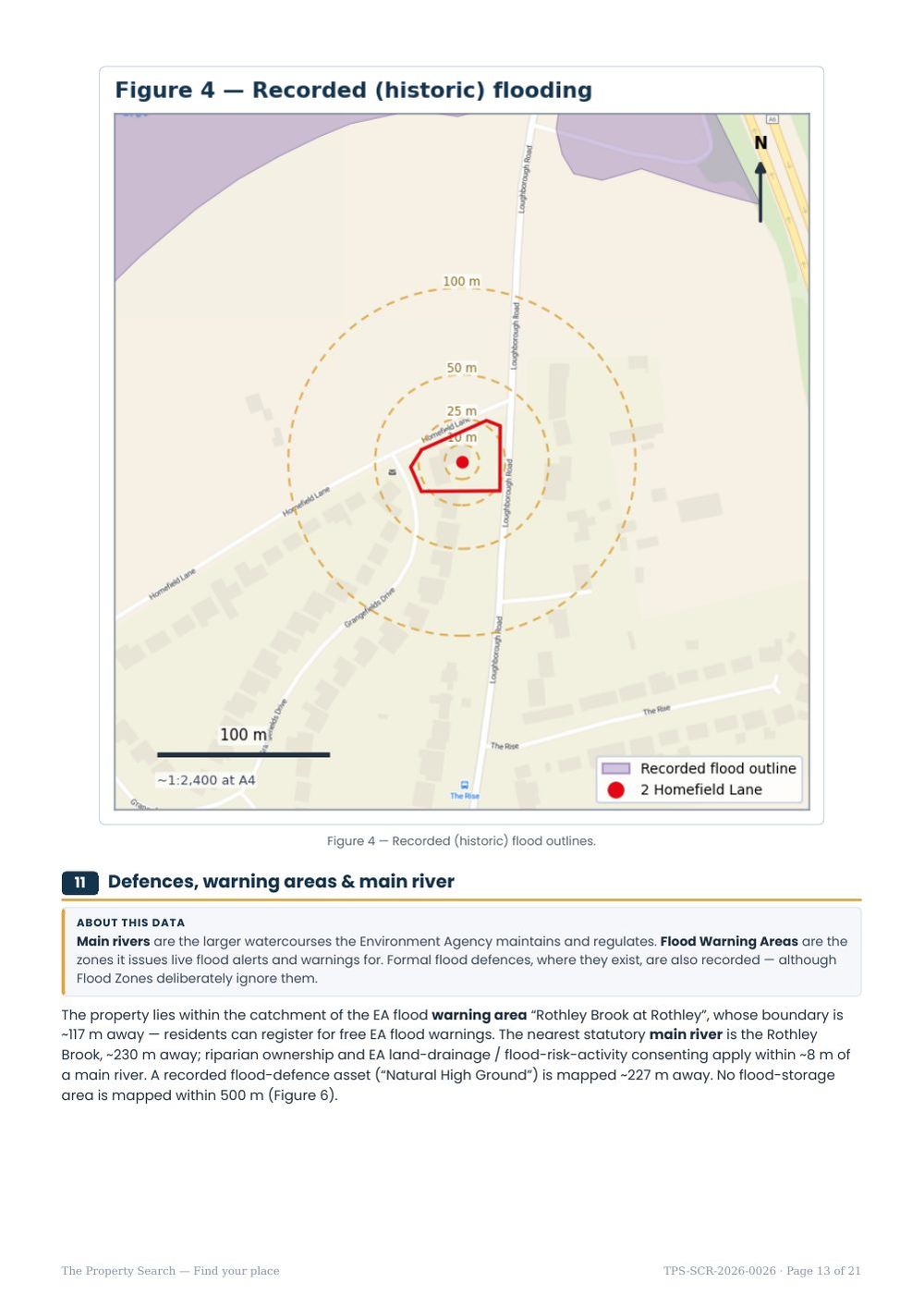
Every dataset above models potential flooding. Recorded flood outlines are different: they map where water was actually observed during real historic events, from any source. That makes them a valuable reality check on the models — if the modelled floodplain and the recorded events line up, you can have more confidence in the picture.
The Environment Agency’s Recorded Flood Outlines capture the extent of floods that have genuinely happened. Importantly, the absence of a record does not prove a location has never flooded — only that no flood was mapped there.
How we report it
We list the nearest recorded events to your property with approximate distances — for example a 1970s river flood a couple of hundred metres away, or later events along a nearby river system. These outlines represent where water was seen on those occasions; they do not mean the property itself flooded. But a cluster of historic events along an adjacent watercourse confirms an active flood history in the area, which is exactly the kind of context a buyer wants before committing.
What it means for you
Historic outlines are best read alongside the modelled sources. If your property is on higher ground in Flood Zone 1 but there are recorded events in the valley below, that is consistent and reassuring. If recorded events reach close to the property, treat it as a prompt to obtain a regulated flood search and, where relevant, a site-specific assessment. Either way, knowing the local flood history helps you ask the right questions of sellers, insurers and neighbours.
Know the risks before you commit
An instant, plain-English flood & environmental screen for any address in England — a fast, low-cost first look before you spend on surveys or searches.